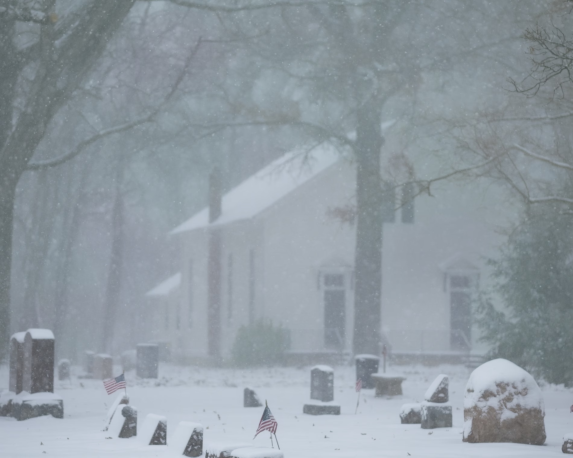
The Northeast United States is preparing for its first significant winter storm of the season, expected to deliver a mix of heavy snow, rain, and ice across the region from Monday night through Tuesday. Millions of Americans are currently under Winter Storm Warnings and Advisories as the powerful system moves up the Eastern Seaboard.
The forecast comes after the Midwest and Great Lakes region experienced major travel disruption over the busy Thanksgiving holiday weekend due to a separate, historic storm system.
❄️ Forecast: Heaviest Snowfall Zones
Forecasters predict that the heaviest snowfall will be concentrated inland, spanning from the Poconos in Pennsylvania to eastern Maine. Areas of New England with higher elevation could see over a foot of snow.
| Region | Expected Accumulation |
|---|---|
| Poconos to Eastern Maine | **Five to 10 inches** |
| New England (Higher Elevation) | Over **One Foot** |
NWS Meteorologist Andrew Orrison noted that this is “going to be the first snowfall of the season for many of these areas, and it’s going to be rather significant.”
⚠️ Travel Impacts and Preparations
Authorities are urging residents to avoid or delay travel if possible, especially in areas under heavy snow warnings in states like **Massachusetts, New Hampshire, Vermont, and Maine**.
- **Pennsylvania:** Vehicle restrictions will be imposed on many interstates in the eastern half of the state starting early Tuesday.
- **Major Cities:** The good news is that “the major cities at this point are not going to be looking at any significant snowfall.”
Midwest Storm Aftermath
The approaching storm follows a record-setting weekend storm in the Midwest. On Saturday, Chicago’s O’Hare airport recorded **8.4 inches of snow**, setting a record for the city’s snowiest November day since records began, causing hundreds of flights to be canceled or delayed.